News from the neighborhood.
Red Hook & Gowanus
Subscribe to get the Star-Revue’s newsletters throughout the month.
Torrential rain struck New York City the evening of Wednesday, May 20, causing flooding in all five boroughs. The worst hit were Brooklyn and Queens, according to Floodnet NYC, a monitoring program created in collaboration between CUNY, NYU, and NYC.
Some neighborhoods received as much as two inches of rain an hour, causing severe flooding: Hollis, Queens, saw almost four feet of flooding around 7 p.m.
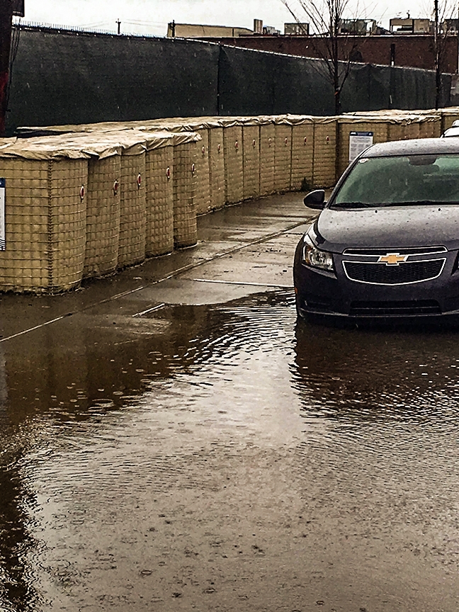
Other areas, however, like Red Hook and Gowanus, got away largely scot-free, with Red Hook getting no measurable flooding and Gowanus about six inches. The rain did cause a combined sewage overflow (CSO) into the Gowanus Canal, a common occurrence during rain events. The city’s sewer system—60% of which is combined, meaning stormwater and building sewage runs through the same pipe to the wastewater treatment plant—is supposed to be able to deal with 1.75 inches per hour, but as seen in Gowanus and elsewhere, much less often triggers an overflow. As little as 0.2 inches can cause raw sewage to flood into the Gowanus.
These kinds of sudden, extreme rain events have increased for the past 70 years, and will continue to do so as the planet warms. A warmer atmosphere holds more moisture, which leads to more rain. The same goes for thunderstorms.
This summer could see unusually warm temperatures and more rain than usual, according to the National Oceanic and Atmospheric Administration’s Climate Prediction Center. In May, it estimated an 82% chance that El Niño conditions will develop sometime between May and July.
El Niño is a phenomenon that increases precipitation in some places, while raising temperatures in others.
According to NOAA’s estimates, New York City has a 40-50% chance of above-normal temperatures, and 33-40% chance of above-normal rainfall. However, the Northeast will likely see fewer hurricanes form this summer.
Increased rainfall, combined with rising sea levels, spell trouble for a city whose infrastructure is not equipped to deal with the next Sandy.
To change that, the city is leading multiple flooding resilience projects across the city, including in Red Hook. The Red Hook Coastal Resiliency project, part of a $20-billion-dollar plan to improve flood protection across New York, is a $218-million, two-mile integrated coastal defense system running between Atlantic Basin and Beard Street. Construction began in August 2025. Sewer work is ongoing, beginning at Todd’s Triangle and progressing from east to west along Beard and Dwight Streets. Floodwalls along Sullivan, Ferris and Wolcott Streets are also under construction, and the city also recently began floodwall construction on Conover Street.
The project protects from a 10-year storm rather than a 100-year storm, leaving some experts worried it won’t be enough when a major hurricane hits. According to a panel of experts, with additional sea level rise, the barriers should be built at least 15 feet tall, rather than the current 10.
“The walls are not designed for major floods, not even our contemporary major floods, forget about major floods that will happen at the end of the 21st century,” Bernice Rosenzweig, a professor at Sarah Lawrence College who studies urban flooding, told ProPublica last year.
Author
Discover more from Red Hook Star-Revue
Subscribe to get the latest posts sent to your email.